Click picture to enlarge...
Download CAD Coverage Map (PDF)

When police agencies receive 911 emergency calls, they are processed by Computer Aided Dispatch (CAD) systems. The Lake County Sheriff's department, as well as other police agencies, provide information from these CAD systems electronically to Lake County PASSAGE. The CAD system filters out non-traffic related items, and operators in the Transportation Management Center (TMC) monitor and analyze the CAD information to determine the impact on the roadway network and implement a response plan if necessary.
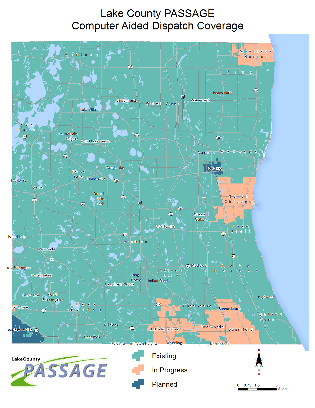
The integrated CAD system currently includes the Lake County Sheriff's department and other local police departments which use the Sheriff';s dispatch center. Some police departments with their own CAD systems are also part of the PASSAGE network. The green area on the PASSAGE map shows the current CAD coverage, and PASSAGE is working with more police agencies to expand automated coverage to the entire county.